What the world can learn from Indonesia’s fires
Indonesia has the tools to predict and detect fires. Israr Albar explores how better co-ordination, community engagement, and rapid response can turn that information into results.
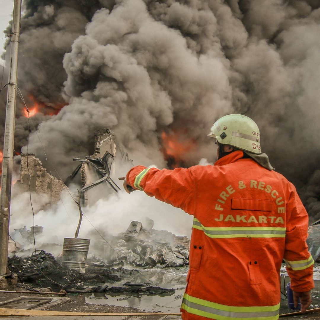
Image by Socrates Bangun | Pexels
Indonesia is one of the countries where forest and land fires are closely linked to climate, ecosystems, land use, and human activities. Every dry season, the risk of fire increases, particularly in peatlands and other fire-prone landscapes. The country has experienced several major fire crises, from the 1997–98 fires to the severe fire seasons of 2015, 2019, and 2023. These events have shaped how Indonesia approaches fire management today.
As someone who has worked in forest and land fire management in Indonesia for more than 20 years, I have seen how the approach has gradually evolved from predominantly focusing on fire suppression toward a more integrated approach to fire management. The 1997–98 fires were a major turning point. Prolonged drought associated with El Niño, combined with extensive land and forest burning, resulted in almost ten million hectares being affected nationally, with enormous economic and environmental consequences.
The experience was repeated on an even more visible scale in 2015. Severe drought associated with El Niño coincided with extensive fires, particularly on drained peatlands in Sumatra and Kalimantan. Around 2.6 million hectares burnt during 2015, with approximately one-third occurring on peatlands. The resulting smoke affected millions of people and caused major economic and public health effects. The 2019 fire season, which burnt around 1.6 million hectares, including major fires in provinces such as Jambi, South Sumatra, and Central Kalimantan, reminded us that fire risk can return when dry conditions combine with vulnerable landscapes and ignition sources.
One of the most important developments has been the strengthening of Indonesia's forest and land fire early warning system. Today, early warning is based on several complementary layers.
First, climate information provides an indication of potential fire risk several months ahead. Seasonal rainfall forecasts, drought information, and climate drivers such as El Niño help authorities identify periods when fire danger may increase. Indonesia's Meteorology, Climatology, and Geophysical Agency (BMKG) has developed a Climate Suitability Index for Forest and Land Fire Occurrences, providing an indication of potential fire risk one to six months ahead.
Second, weather-based fire danger information provides a shorter-term operational perspective. Indonesia's Fire Danger Rating System (FDRS) uses parameters such as rainfall, temperature, relative humidity, and wind to assess fuel dryness and the potential for fire ignition and spread. The system, developed and operationalised in Indonesia since the early 2000s, can provide fire-danger information several days ahead, supporting operational preparedness and response.
Third, satellite technology provides near-real-time information on active fires. Hotspot observations from multiple satellites, including Terra, Aqua, Suomi NPP, and NOAA satellites, help identify areas that require attention and field verification. However, a hotspot should not automatically be interpreted as a fire. Satellite observations need to be assessed together with land cover, weather conditions, fire danger, smoke information, and ground observations. The real value of an early warning system therefore comes from connecting prediction with action.
Preparing before the next one
Fire prevention is particularly important in Indonesia because many fires are associated with human activities, including land preparation, agricultural practices, accidental ignition, and other land-use activities. This means that prevention cannot be achieved by government agencies alone. Local communities, land managers, companies, researchers, and local governments all have important roles to play.
Community engagement is especially critical. Local people often have detailed knowledge of their landscapes, seasonal conditions, vegetation, and water availability. Traditional knowledge and local practices can provide valuable insights when combined with scientific information and appropriate safeguards.
For peatlands, prevention also means maintaining appropriate groundwater levels and reducing the vulnerability of dry peat to ignition and prolonged combustion. Once peat burns, fires can become difficult to detect and suppress because combustion may continue below the surface.
Even with strong prevention, fires will still occur. The key is to detect and respond before they become large fires. Satellite information can identify a potential fire, but field teams need to verify its location and condition. Fire managers then need to understand the surrounding fuel, weather, accessibility, water sources, and potential for fire spread.
This is where rapid response becomes critical. A small fire that is detected early and reached quickly may require relatively limited resources. The same fire, after several days of dry weather and strong winds, can develop into a much larger crisis. Effective response, therefore, depends not only on the availability of firefighters and equipment but also on preparedness, logistics, communication, and effective command and control.
Indonesia's experience demonstrates that forest and land fire management is not simply a firefighting problem. It is simultaneously a climate, landscape, land-management, community, governance, law-enforcement, and public-health issue. The future of fire management should therefore focus on building resilience rather than relying exclusively on suppression.
The objective should be straightforward: predict the risk, prevent ignition, detect fire early, respond rapidly, and build landscapes and communities that are more resilient to fire.
For Indonesia, the challenge is not a lack of information. We already have increasingly sophisticated climate forecasts, fire-danger information, satellite monitoring, and operational fire-management capacity.
The next challenge is to connect these capabilities more effectively. That is ultimately what effective forest and land fire management should deliver: fewer large fires, faster response when fires occur, reduced smoke effects, and landscapes and communities that are better prepared for a changing climate.
Israr Albar is a former Deputy Director of Forest Fire Management, Ministry of Forestry, Indonesia.