Volume 15 Issue 3
See below for full summaries of all articles
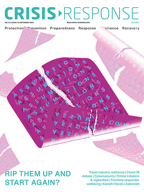
This edition’s cover reflects discussions on whether previous assumptions about resilience and preparedness have been flawed, especially those revolving around pandemics. Should our assumptions be revised or ripped up and started again? Is it even safe to make assumptions at the moment?
We start our global analysis of the Covid-19 response with a focus on the UK, and also look at leadership, communication and, generally, why society seems to fetishize response over preparedness. The edition also looks at the threat of Near Earth Objects and how Karachi’s monsoon flooding has been exacerbated by the build-up of refuse.
The sudden pivot to home working has raised the spectre of increased cyber threats, so our cyber feature examines solutions, along with an overview of cyber resilience and ESG reporting, as well as providing advice on leading cyber incident response teams.
We look at how lockdowns and Covid-19 have combined to create conditions ripe for unrest, tribalism, protests, online vigilantism and both right and left wing extremism. And we present a feature on travel resilience, spanning how hotels and the airline industry are dealing with the effects of Covid-19, as well as how organisations can work with their employees to restore safety and confidence to travel.
Finally, this edition presents technology to improve first responder performance, paracounsellor programmes within the Singapore Civil Defence Force, and articles on drones, including mapping, collaboration, new technology and threats.
Articles
 | Connecting the dots with drone mapping - free to read! (171.5KB) 11/01/2021, In the rapidly evolving landscape of drone technology, it is important for businesses, humanitarian organisations and emergency services to be able to keep ahead of the curve. This is where drone mapping and photogrammetry software from CRJ Key Network Partner Pix4D comes in |