Drones deployed to monitor Brazil forest growth
Measuring the height of Brazil’s towering rainforests can be a tall order. But an international team of researchers say they are working together to turn unmanned aerial vehicles (UAVs), or drones, into efficient, low-cost data collectors that can monitor the progress of forest restoration.
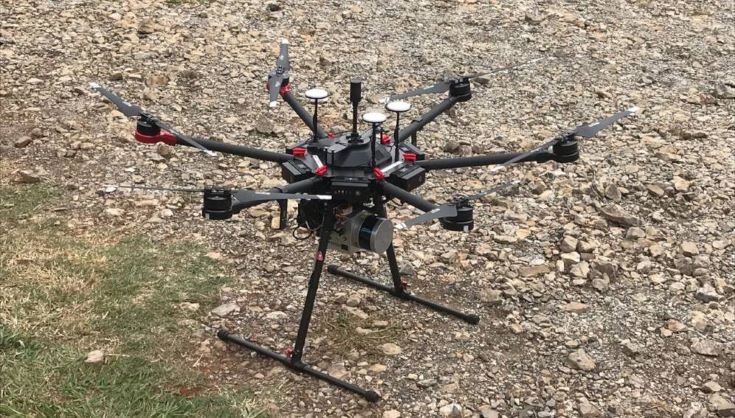
A drone equipped with the GatorEye system. Photo: Danilo Almeida
A team including scientists from NASA and the Universities of Florida and Connecticut in the US, used a UAV-borne lidar system – a method that measures distance to a target by illuminating the target with pulsed laser light and measuring the reflected pulses with a sensor – to measure and collect data on two of the main variables used to evaluate forest structure: the height of the forest canopy and the forest biomass.
The team has developed a drone equipped with three-dimensional laser scanning and hyperspectral imaging systems capable of producing high-resolution maps and collecting hundreds of images at different wavelengths for a given area.
They used the GatorEye system to assess the results of a mixed-species forest restoration experiment in the Atlantic Forest of south-eastern Brazil, concluding in their findings that the technology showed “enormous potential”.
Ricardo Ribeiro Rodrigues, a biologist at the Luiz de Queiroz College of Agriculture at the University of São Paulo, and specialist in forest recovery says: “The study’s outcomes have a huge potential of practical application and might help decision-makers to sustain public environmental policies.”
“Of course, we will still need to do field monitoring,” he added. “However, this new method allows us to extrapolate the field data to larger scales, ensuring the monitoring and restoration strategies’ accuracy.”
Increases in canopy height and biomass are important for the reduction of alien plant species, which can be damaging to the environment, and the growth of other species that are essential for tropical forest development.
Such data is crucial for planning new forest restoration programmes and evaluating the success of ongoing projects. Researchers say new cost-effective technologies are needed to monitor the structure and function of restored forests on a broader scale than existing methods, if ambitious international goals of restoring at least 350 million hectares of forest globally by 2030 are to be met.
Data about forest structure in restoration projects is usually collected by researchers on the ground. However, this method is labour-intensive and hard to be applied to very large areas.
Researchers sometimes attempt to overcome these limitations by using aeroplanes equipped with three-dimensional laser scanning systems to cover large forest areas in a single flight, according to Danilo Alves de Almeida, a forestry engineer at the Luiz de Queiroz College of Agriculture, and lead author of the study. However, he adds, monitoring in this way is expensive and reliant on companies that own aeroplanes.
The team's findings will be published in July in the International Journal of Applied Earth Observation and Geoinformation.
This news article is reproduced under a Creative Commons licence.
Thumbnail credit: grigory_bruev|123rf