Deforestation spurs larger and more frequent floods, study finds
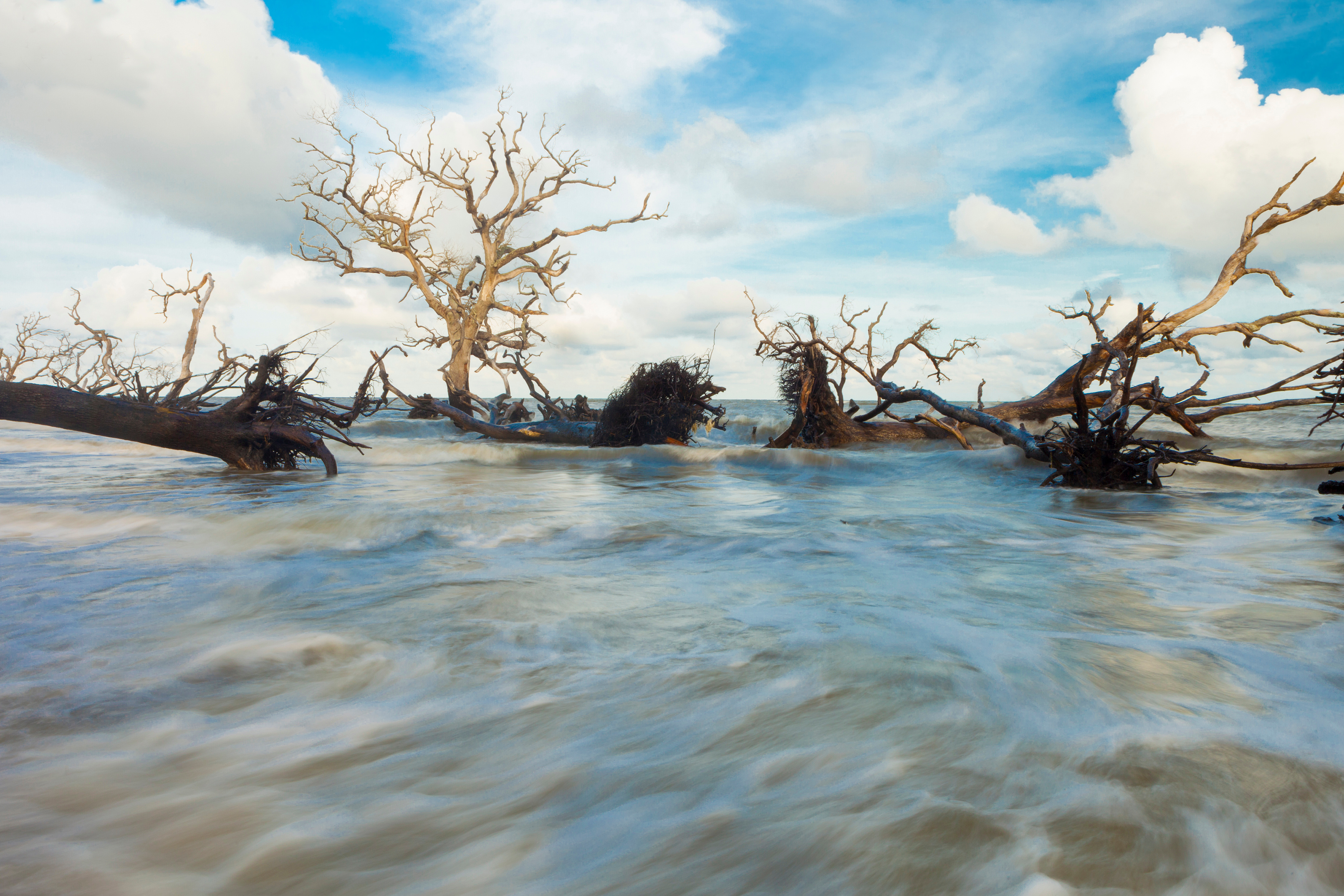
Image: Wollwerth Imagery | Adobe Stock
Loss of forest cover is associated with more frequent extreme flooding, as well as more frequent floods of any size, according to new research from The University of British Columbia (UBC).
While it’s widely thought that loss of forest cover is strongly linked to increased flooding, most studies have suggested that the effect is limited to smaller floods. But the study, focused on two snow-dominated regions in British Columbia, the Deadman River and Joe Ross Creek watersheds, argues otherwise.
"When only 21 per cent of trees in the watershed were harvested, using clearcut logging, the average flood size increased by 38 per cent in the Deadman River and a staggering 84 per cent in Joe Ross Creek," says first author, Robbie Johnson, who conducted the research as part of his master’s in applied science in forestry at UBC. "As well, floods that used to happen only once every 10, 20, 30, 40 and 50 years are all becoming much more common."
Senior author and UBC forestry professor, Dr Younes Alila, explains that clearcut logging affects the way snow melts. "Reduced forest cover leads to more snow on the ground and more solar radiation reaching the snowpack. With much less forest cover to catch and shade the snow, more of it melts faster, causing larger floods."
Effect of local watershed conditions
The researchers also found that the consequence of clearcutting on floods is influenced not only by the total size of the logged area but also by specific local conditions, including the size of the watershed, topography, exposure to the sun, storage areas such as lakes, and the location of cut blocks (areas of land with defined boundaries that are authorised for harvest), all of which control the flow of water.
For example, Joe Ross Creek, which has a smaller watershed, higher elevation, and mainly south and west exposure, had larger increases in flood size compared to Deadman River, which is about eight times larger, more diverse in exposure to radiation from the sun, and dotted with small lakes.
Despite this, analysis showed that clearcut logging induced similarly large increases in the frequency of the biggest floods. The authors say this is the first study to demonstrate how forests’ ability to mitigate flood risk increases with the size of the watershed.
Improving forest management
The authors used a novel method that isolates the effects of logging from those of the volatile climate background. "This allows for a more realistic evaluation of harvesting effects on flood risk in a watershed. It’s an approach that can be applied to any other watershed in the Interior and on the coast of British Columbia," observed Johnson.
The study provides a vital step forward in our understanding of the intricate relationship between land cover changes and flooding, said Alila.
"These results emphasise how much the power of forests lies at the watershed scale, especially since replanted forests in the cut blocks are not capable of providing the same hydrologic functions for decades. We hope these insights help to better manage our forests to reduce potential risks to communities and the environment. The way forward is to sustainably reduce clearcutting and, most importantly, consider ecosystem-friendly alternative logging practises, such as thinning and selecting individual trees for harvest," Alila added.